Timeline Visualizer
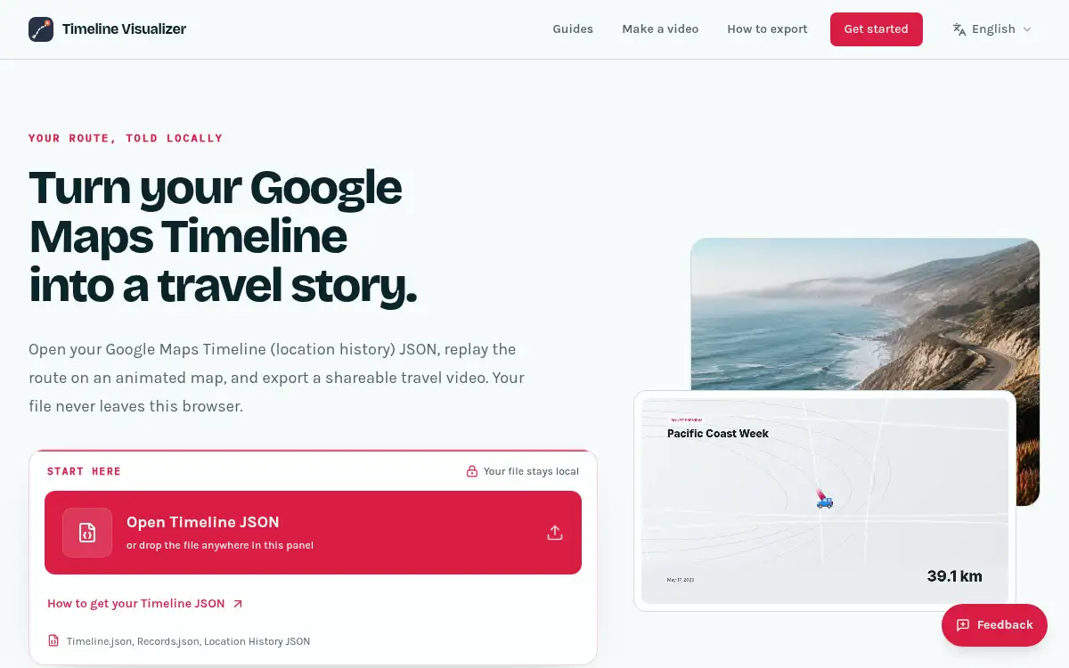
Open SiteTimeline Visualizer turns a Google Maps Timeline export into an animated travel video in the browser. Open your location-history JSON, replay the route on a map, trim the ends, and export MP4 or WebM — with no account and no upload of the file.
Added on November 21, 2026
Product Information
What is Timeline Visualizer?
Timeline Visualizer (timelinevisualizer.org) is a free, independent browser tool that replays a Google Maps Timeline (Location History) export as an animated map and records a travel video locally. Google moved Timeline onto the phone and retired the web map in 2024–2025; this site is not affiliated with Google, but it still reads the exported file. The parser accepts Timeline.json, location-history.json, Records.json, timelineObjects, semanticSegments, and generic coordinate lists. Playback shows a moving marker, a live date, and accumulating distance on OpenStreetMap-based CARTO tiles by default, or a fully local illustrated backdrop in Privacy mode (no tile requests). You can trim the opening and closing points, choose portrait, landscape, or square canvases, and pick palettes such as Night, Sunset, or Forest. Export records the canvas in the browser as MP4 or WebM, with no account. The Timeline file is not uploaded; closing the tab clears the working data.
How to use Timeline Visualizer?
- 1. Export Timeline data from your phone: on Android, open Settings → Location → Timeline → Export Timeline data; on iPhone, open Google Maps → profile → Settings → Personal content → Export Timeline data (older Takeout files such as Records.json also work)
- 2. Open timelinevisualizer.org and load the JSON in the browser — the parser detects the format automatically
- 3. Press play to replay the route with the moving marker, date, and distance; optionally trim the start and end points and pick a canvas (portrait, landscape, or square) and palette
- 4. Turn on Privacy mode if you want a fully local map with no tile requests, instead of the default CARTO basemap
- 5. Export the video in the browser (MP4 or WebM) and download or share it; no account is required
Core Features
- • Local Timeline playback — Open a Google Maps Timeline or Takeout JSON and replay the route in the browser, with no account and no file upload
- • Format coverage — Timeline.json, location-history.json, Records.json, timelineObjects, semanticSegments, and generic coordinate lists
- • Animated travel video — A moving marker, live date, and accumulating distance, exported as MP4 or WebM from the canvas
- • Privacy mode — Optional locally drawn backdrop that makes no map-tile requests; default mode uses CARTO tiles only for the visible map area
- • Endpoint trim — Drop the opening and closing points so a shared video does not start or end at home or work
- • Canvas and palette — Portrait, landscape, or square output, with palettes such as Night, Sunset, and Forest
- • Free and independent — No app, APK, or signup; not an official Google product
Use Cases
- • Turn a year of trips into a short travel video for YouTube, X, or an anniversary post
- • Replay a cycling season, road trip, or honeymoon route without sharing the underlying location file
- • Restore a view of on-device Google Timeline data after the official web map was retired
- • Export a portrait clip for Stories, Reels, or TikTok, or a landscape cut for YouTube, after trimming home and work endpoints