GeoSolver
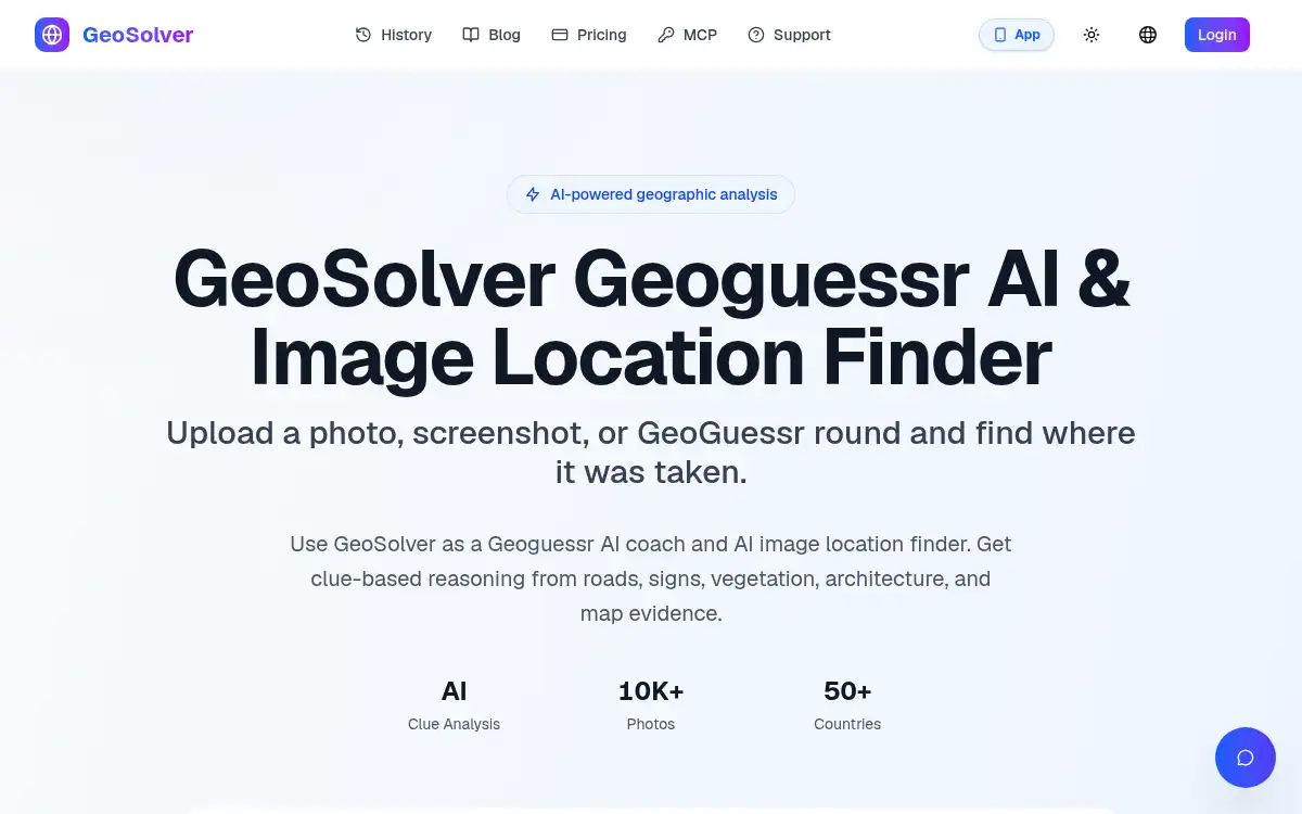
Open SiteGeoSolver is an AI image location finder and GeoGuessr coach: upload a photo, screenshot, or game round and get clue-based reasoning from roads, signs, vegetation, architecture, and terrain. Preview key clues for free; full location details, reasoning, and maps are on paid plans.
Added on November 8, 2026
Product Information
What is GeoSolver?
GeoSolver (by Reverse Image Location) analyzes a photo, screenshot, or GeoGuessr round to estimate where it was taken from visible evidence rather than GPS metadata or a reverse-image match. It highlights clues such as road markings, signs, architecture, vegetation, and terrain, then explains the reasoning so users can learn the same patterns. The product is positioned as a learning and training tool for geography and GeoGuessr, and also as a photo-location helper when EXIF or traditional reverse image search is not enough. Results are location hypotheses to verify independently with maps or satellite imagery; the site is not affiliated with the official GeoGuessr game. Users can preview key location clues before upgrading; paid monthly and yearly plans unlock full location details, complete reasoning, and map access.
How to use GeoSolver?
- 1. Open reverseimagelocation.com and start GeoSolver
- 2. Upload a photo, screenshot, or GeoGuessr round with visible outdoor clues such as roads, signs, buildings, or landscape
- 3. Run the AI analysis to see clue-based reasoning from signs, roads, architecture, vegetation, and terrain
- 4. Preview the highlighted clues; upgrade if you need full location details, complete reasoning, and map results
- 5. Verify any suggested place independently with maps or satellite imagery before treating it as confirmed
Core Features
- • Clue-based AI geolocation — Estimate a place from visible signs, roads, architecture, vegetation, and terrain
- • GeoGuessr coach mode — Practice with game-style screenshots and explanations rather than unexplained answers
- • Works without GPS or EXIF — Useful when metadata and reverse-image matches are missing
- • Reasoning you can inspect — Country and region estimates with supporting evidence; exact pins are less reliable when clues are thin
- • Preview before upgrade — See key location clues first; paid plans add full details, history, and map access
- • Related location tools — Dedicated workflows for find-photo-location and reverse image location search
- • Independent training tool — Not affiliated with the official GeoGuessr game
Use Cases
- • GeoGuessr players studying why a round looks like a particular country or region
- • Travelers or researchers trying to identify where an outdoor photo was taken
- • Students practicing geography from visual clues
- • Lawful public-scene checks when a unique photo has no GPS or reverse-image match
- • Anyone reviewing a shared screenshot that lacks location metadata